
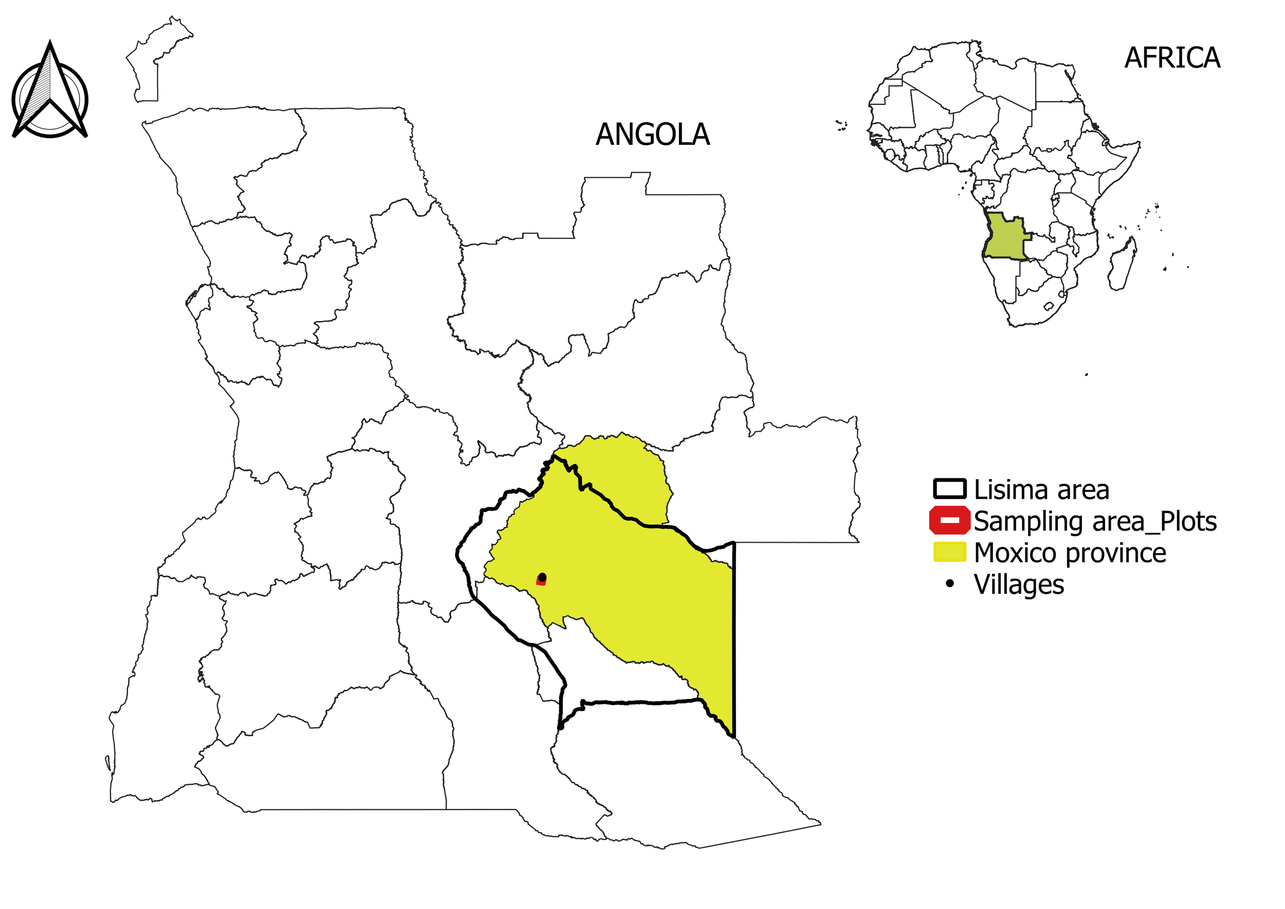
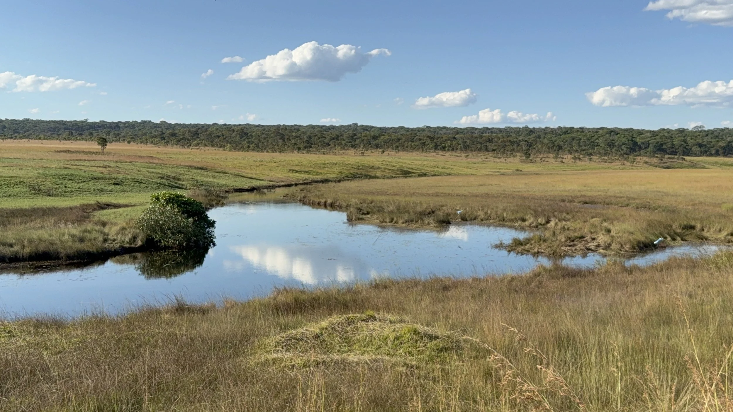
Between May and July of 2026, I conducted fieldwork in Lisima, a critical ecological and hydrological landscape in the Moxico Province of eastern Angola. Lisima is known locally as Lisima Lya Mwono or "Source of Life", this region was recently designated a Ramsar Site of International Importance, in recognition of the value of its wetlands for biodiversity conservation and the livelihoods of local communities.
I travelled there as part of my master’s research in biodiversity, genetics and conservation at the University of Mandume Ya Ndemufayo, in partnership with the University of Porto, Portugal. My master’s is co-supervised by Henrique Pereira from the University of Porto and Glynis Humphrey, a Research Officer from the People in Nature and Climate (PiNC) Lab at the African Climate & Development Initiative (ACDI) at the University of Cape Town (UCT).
Practices and perceptions related to fire
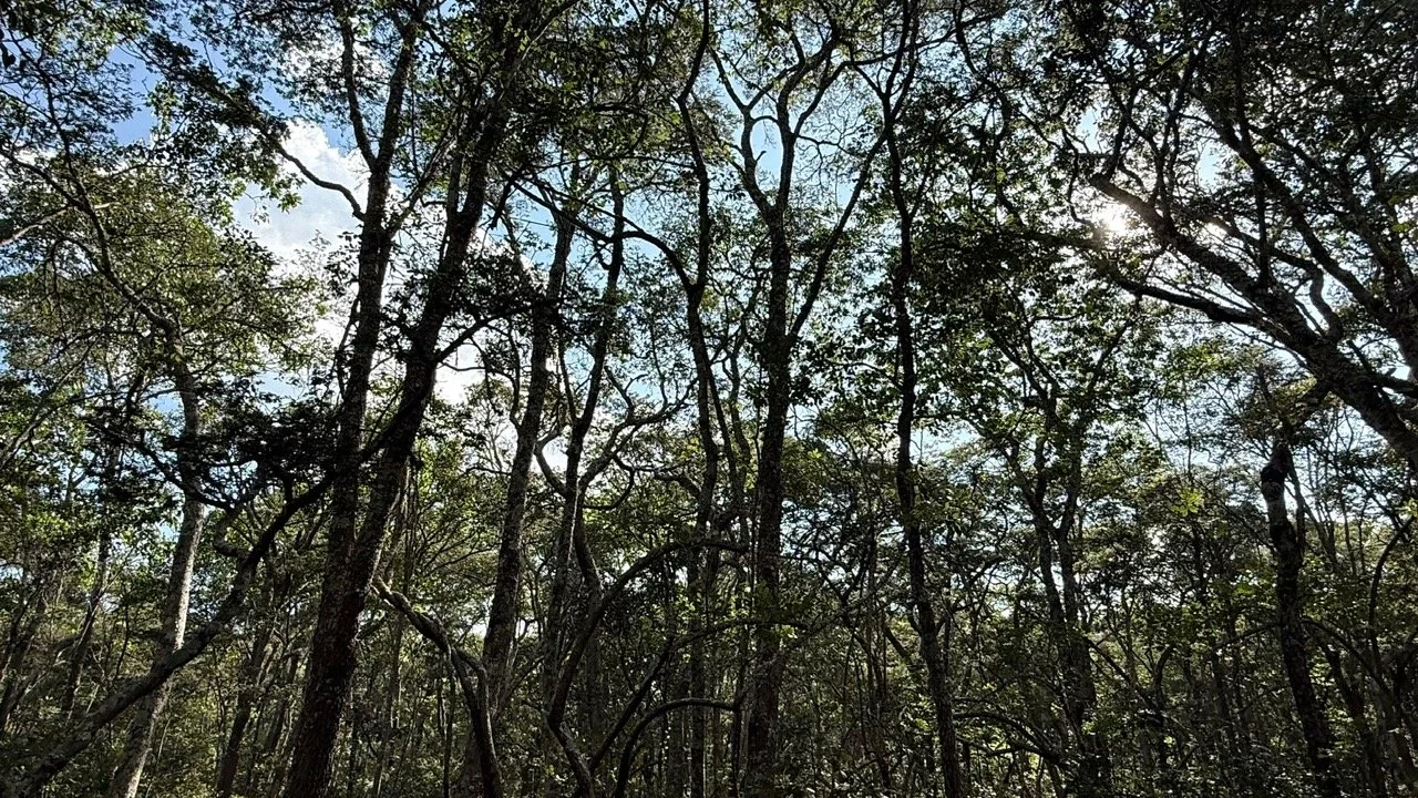
In the Lisima region, miombo woodlands span more than 110,000 square kilometers. My research aims to understand how practices and perceptions related to the use of fire may influence the dynamics of these dense miombo woodlands.
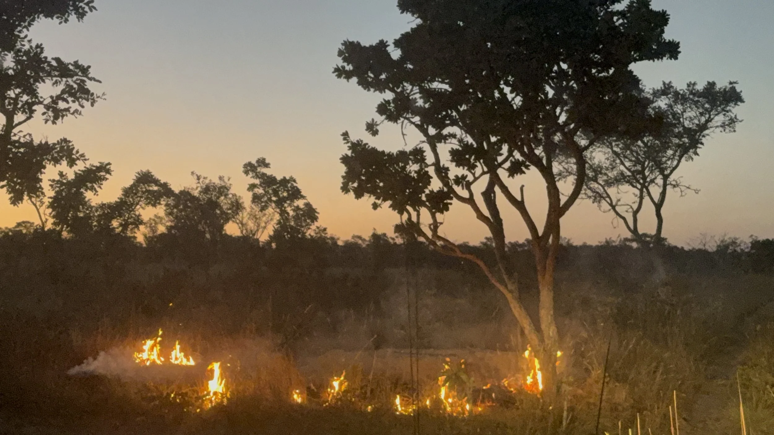
Fire is an integral part of the landscape and livelihoods of many rural communities in Angola, where it is used for a range of purposes including agriculture, hunting, clearing land and pasture management. However, the dense woodlands of Moxico present a particular situation. Due to their density and the conditions within them, fire tends to occur less frequently in these environments than in areas with more open vegetation.
This led me to a central question: what happens when fire begins to reach these forests and occurs more frequently?
Listen to those who know the forest
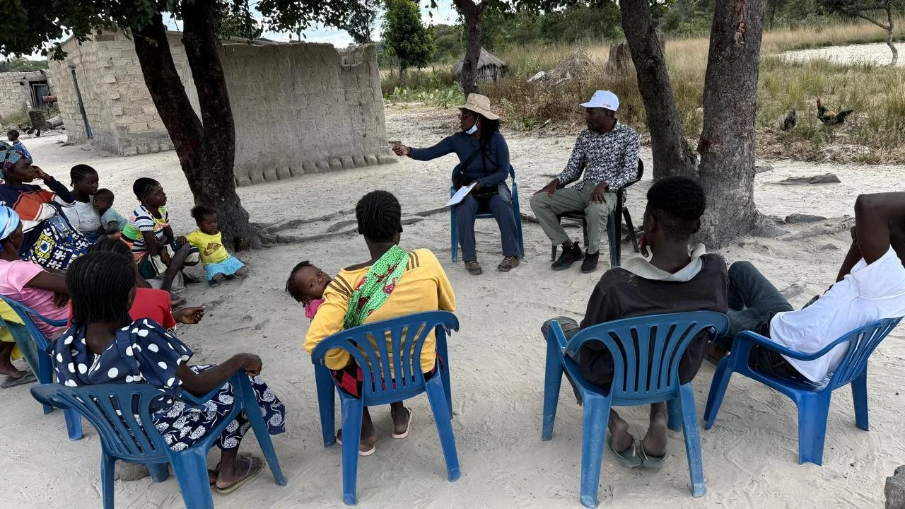
I travelled to Lisima with the research coordinator of the Lisima Foundation and other Angolan master’s and doctoral research students supported by the foundation. Our first stop was with the local communities. We wanted to understand how people live with fire and how it forms part of their relationship with the forest.
In two villages, we heard stories about fire use, how fires were traditionally set, how they are set today, and the changes people have observed in the landscape.
We were welcomed with great hospitality because we approached the community with respect and a genuine interest in learning from its members. Our connection with the Lisima Foundation may also have helped establish trust and facilitate our integration into the community. Our interactions were strengthened through informal conversations, shared meals and moments of discovery, which allowed us to understand not only the practices associated with fire, but also the culture, traditions and everyday lives of the communities.
Gradually, we realised that the forest was much more than simply a place where we would collect data - it was a source of food, resources and identity.
Looking for signs of fire
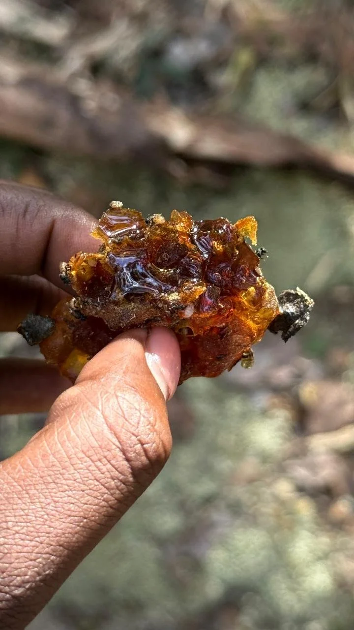
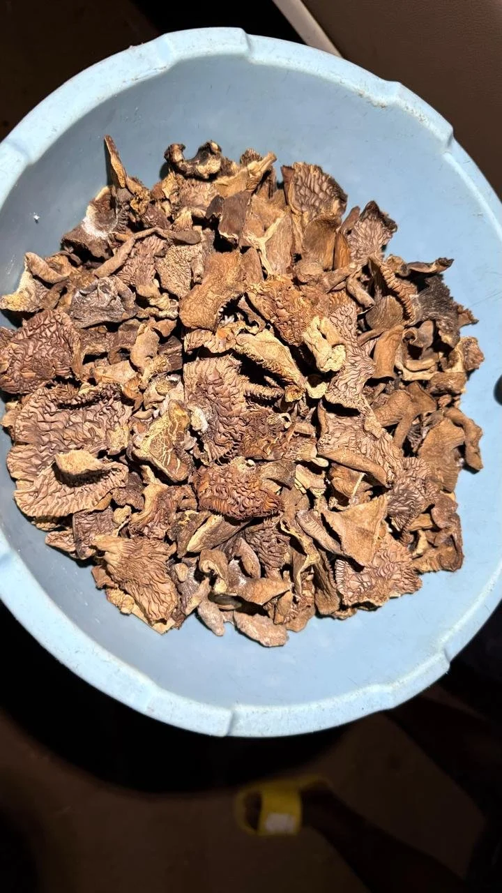
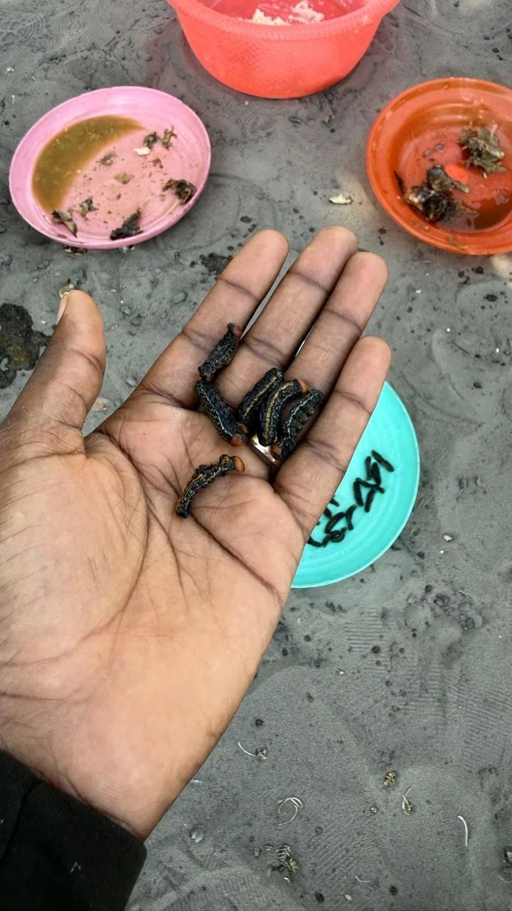
Part of our field work involved daily walks through the landscape, accompanied by two members of the local community who acted as translators, guides and field assistants. During these walks, we observed various non-timber forest products (NTFPs) gathered by community members, including mushrooms, wild berries and honey. These resources highlighted the communities’ direct reliance on the forest for their livelihoods. We also considered how fire could affect the availability of these products and, consequently, the livelihoods of locals.
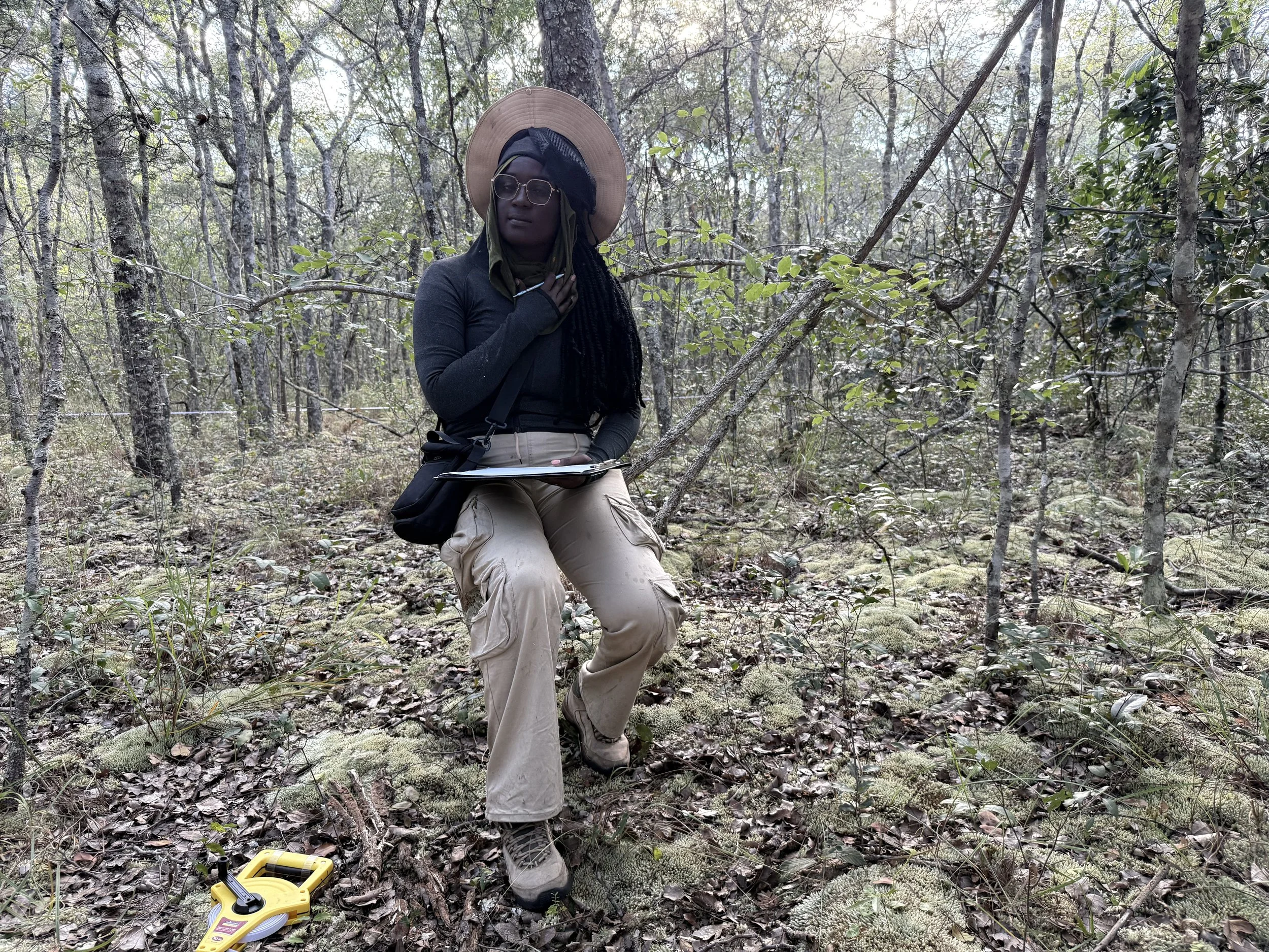
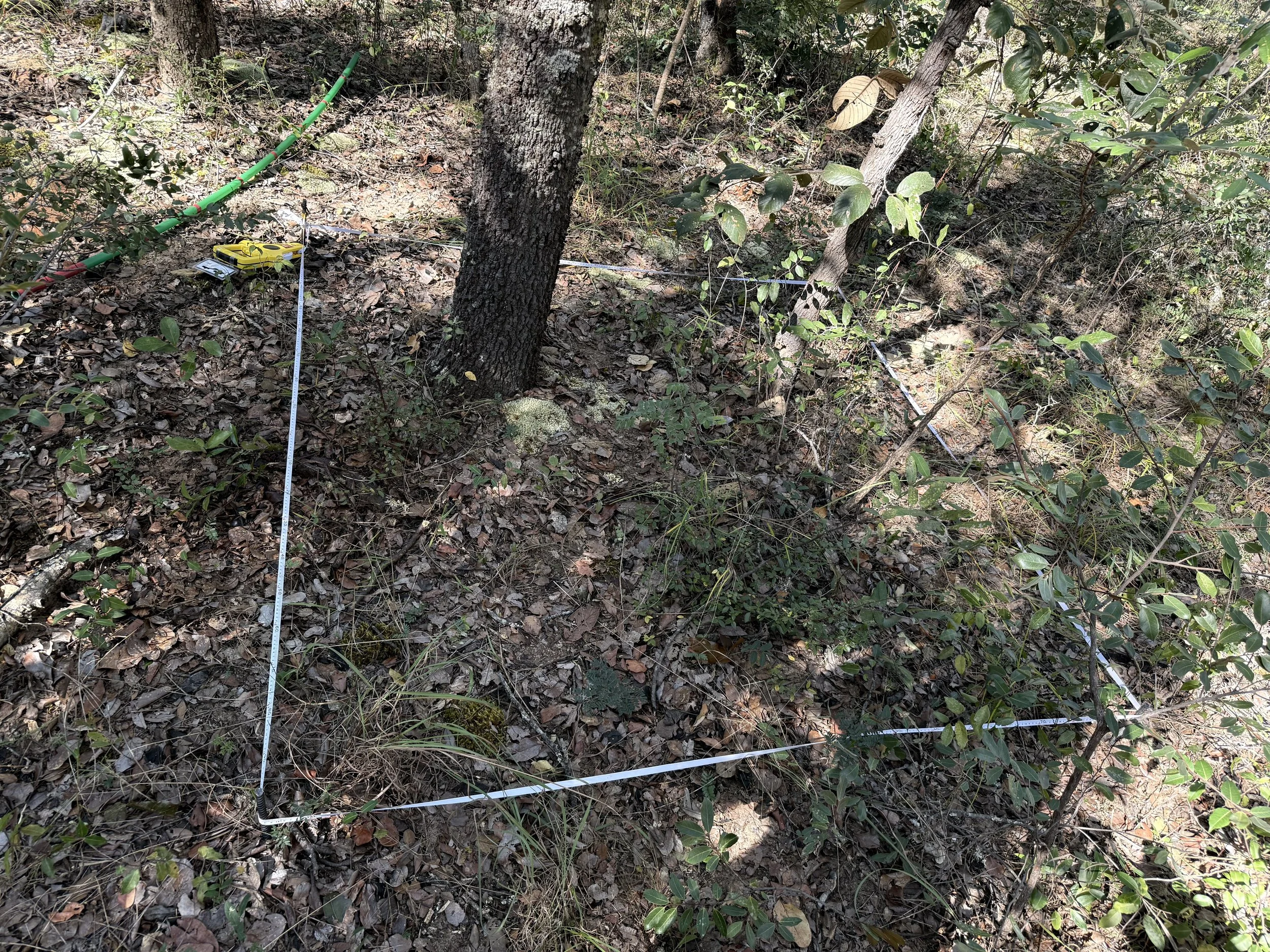
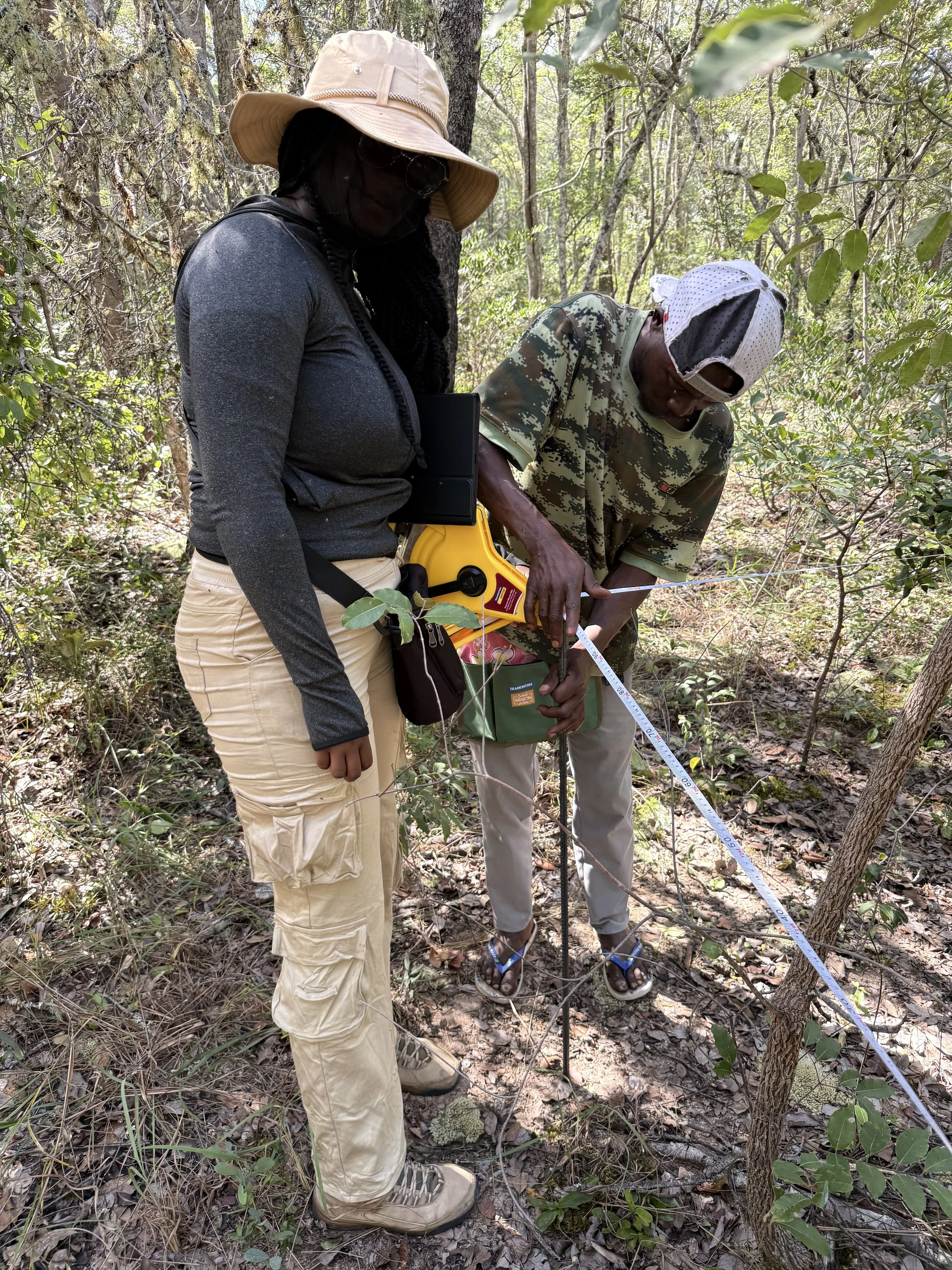
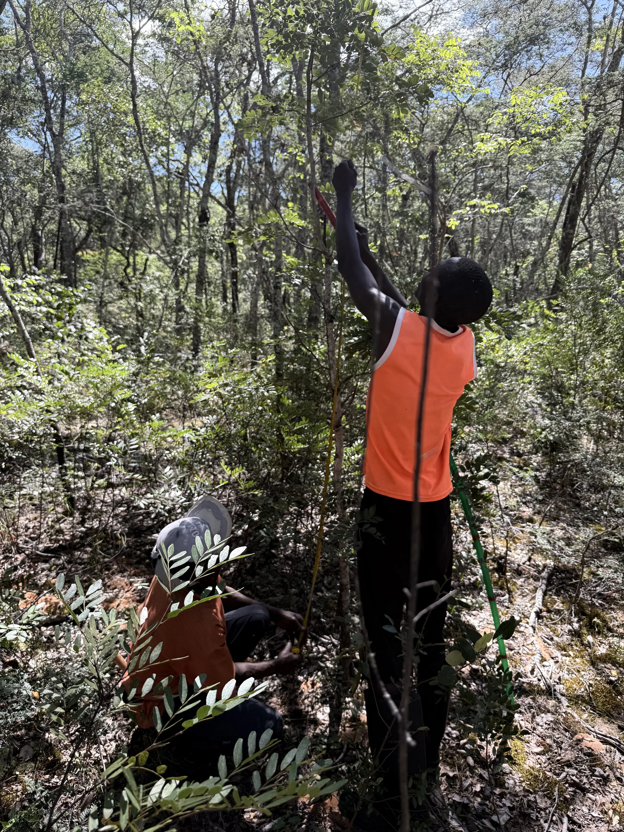
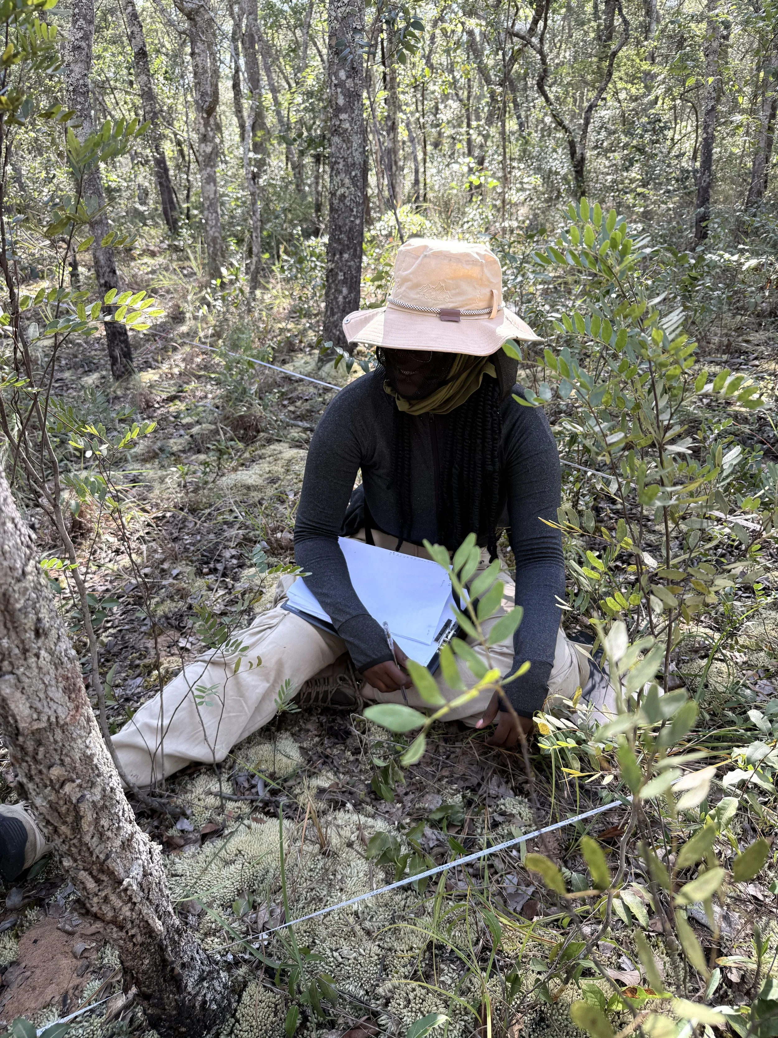
To complement the knowledge shared by local communities, we established 10 ecological plots, each measuring 20 × 20 metres. In each plot, we recorded plant species, the number of individuals, tree diameter and height, canopy cover, regeneration, and evidence of fire exposure. Regeneration was assessed within 2 × 2 metre subplots.
By combining local knowledge with scientific data, we were able to relate community members’ observations and experiences of fire to measurable ecological patterns, providing a more comprehensive understanding of how fire influences forest vegetation and regeneration.
To complement our field observations, we also analysed satellite imagery to identify areas affected by fire and examine burning patterns across the landscape. These images helped us understand the spatial and temporal distribution of fires and relate the signs observed on the ground to broader patterns of burned areas.
Challenges of a dense forest
Working in a dense forest required perseverance. Thick vegetation, branches, roots and fallen trees made it difficult to move through freely. Miruins, tiny biting midges, were another major challenge. They would get into our eyes and onto exposed body parts, forcing us to use face protection and cover our bodies more thoroughly.
The days were demanding, but they were also an important part of the experience of getting to know the forest at close range.
Learning to read the landscape
I am now analysing the data collected in the field and the satellite imagery we gathered during this field visit.
Initial observations reveal signs of fire within some dense forests that are not always visible in satellite imagery. We are now seeking to understand how the occurrence and frequency of fire are related to the forest itself, and understand the ways in which local communities use the landscape.
More than a story about fire, this is a story about relationships: between fire and forest, between forest and communities, and between local knowledge and science.
In the miombo woodlands of Lisima , every plot, every conversation, and every walk added a new piece to a landscape that we are still learning to read. The fieldwork may have ended, but the research continues.
Written by: By Grece Nacale